Machu Picchu is in the Andes of southern Peru, in the Cusco region, about 80 km (50 miles) northwest of the city of Cusco. The Inca citadel sits on a mountain ridge at about 2,430 m (7,970 ft), above the Urubamba River and the town of Aguas Calientes. No road reaches it from Cusco: you get there by train to Aguas Calientes and a short bus ride, or on foot along the Inca Trail.
| Country & region | Peru · Cusco region, Urubamba province |
|---|---|
| Distance from Cusco | About 80 km (50 mi) northwest · 3.5-4.5 h by road, train and bus |
| Altitude | About 2,430 m (7,970 ft) · some 1,000 m lower than Cusco |
| Coordinates | About 13.16° S, 72.55° W |
| Nearest town | Aguas Calientes (Machu Picchu Pueblo) · 25 min by bus |
| Full-day tour by train from Cusco | From US$335 per person |
Ask ten travelers where Machu Picchu is and most will say “near Cusco”. That is true, but it hides how much travel is involved. The citadel is tucked into a steep, green canyon where the Andes start dropping toward the Amazon, and the last stretch can only be done by train or on foot.
We live in Peru and take travelers to Machu Picchu every week. This guide shows where it is on the map, how the trip works step by step from Lima, how much time you need and whether it is worth the effort.
Table of Contents
Where Exactly Is Machu Picchu?
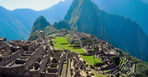
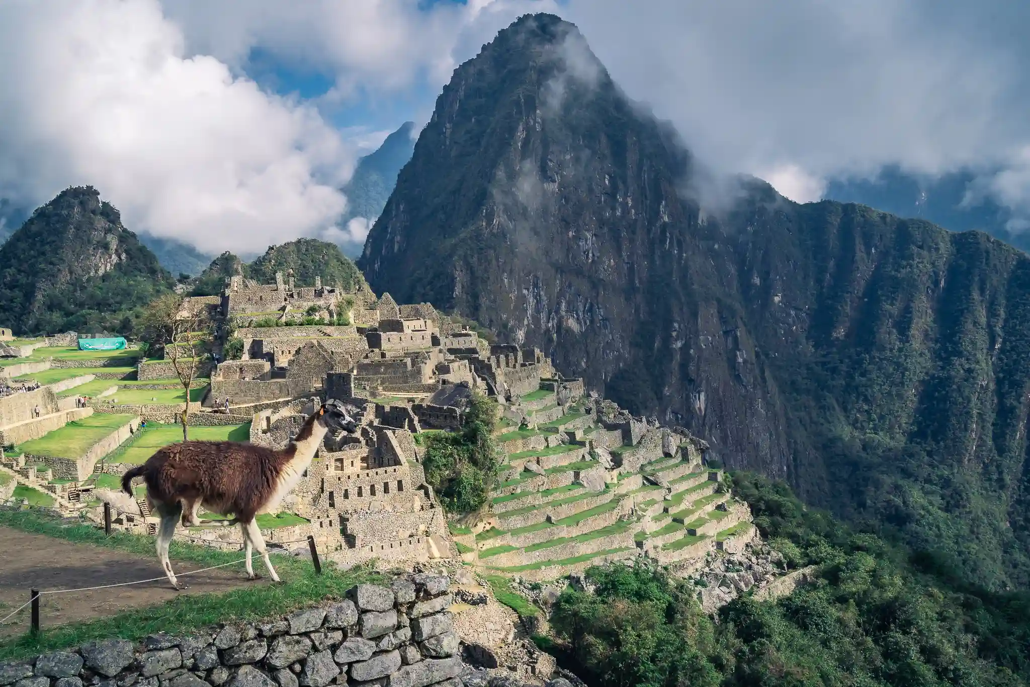
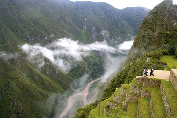
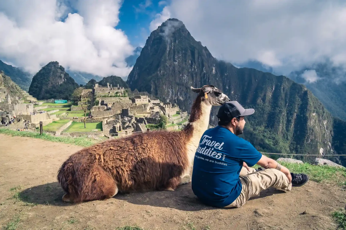
Machu Picchu is in the Machupicchu district of Urubamba province, in the Cusco region of southern Peru. It stands on a ridge between two peaks: Machu Picchu Mountain to the south and Huayna Picchu, the pointed peak you see in every photo, to the north. Below it, the Urubamba River wraps around the ridge on three sides.
Its coordinates are roughly 13.16° S and 72.55° W. The ruins and the surrounding mountains are protected as the Historic Sanctuary of Machu Picchu, a UNESCO World Heritage Site that also covers cloud forest, other Inca sites and the last stretch of the Inca Trail.
How High Is Machu Picchu?
The citadel is at about 2,430 m (7,970 ft) above sea level. That surprises many travelers: it is roughly 1,000 m lower than Cusco (3,400 m), so after a couple of days in Cusco you will usually feel better at Machu Picchu, not worse. Huayna Picchu reaches about 2,700 m and Machu Picchu Mountain about 3,060 m. Read our Cusco altitude guide to plan your first days.
Machu Picchu On The Map: From Lima To The Ruins
The easiest way to picture the route is as a chain of five stops. Each one takes you closer and a little lower, except Cusco, which is the highest point of the trip.
- Lima (sea level): international flights land at Jorge Chávez Airport.
- Cusco (3,400 m): about 1 h 20 min by plane from Lima.
- Ollantaytambo (2,790 m): about 1.5-2 h by road through the Sacred Valley.
- Aguas Calientes (2,040 m): about 1.5-2 h by train along the Urubamba River.
- Machu Picchu (2,430 m): about 25 min by bus up a zigzag road.
How To Get To Machu Picchu, Step By Step
Most travelers combine a plane, a road transfer, a train and a bus. It sounds complicated, but each leg is short and well organized.
Step 1: Fly From Lima To Cusco
Almost every trip starts with a flight from Lima to Cusco, which takes about 1 h 20 min and runs many times a day. There are long-distance buses too (around 20 hours), but on a short vacation the flight saves you a full day.
Step 2: Take The Train To Aguas Calientes
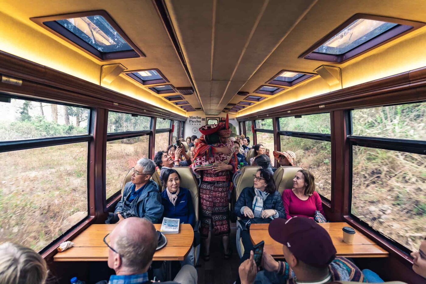
Most trains leave from Ollantaytambo, in the Sacred Valley, and some services start at Poroy station, about 20 minutes from Cusco. The usual plan is to go by road from Cusco to Ollantaytambo and board there; the ride along the river takes 1.5 to 2 hours. Trains range from simple to luxury: compare them in our guide to the types of trains to Machu Picchu. If you’d rather not book each leg yourself, we run Machu Picchu by train as a day trip from Cusco, with tickets and guide included.
Step 3: Ride The Bus Up To The Citadel
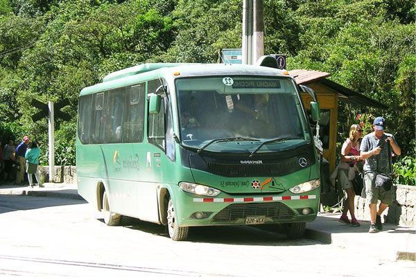
From Aguas Calientes, buses climb to the entrance in about 25 minutes. The alternative is a steep stone staircase that takes around 1.5 hours on foot. If you plan to sleep in the town or want to know what else it offers, read our Aguas Calientes guide.
On Foot: The Inca Trail And Other Treks
The classic Inca Trail takes four days and ends at the Sun Gate above the citadel; permits are limited and sell out months ahead, and a short version takes one day of hiking. Other treks, like Salkantay, end in Aguas Calientes. There is also a budget route by road to Hidroeléctrica and a walk of 2.5 to 3 hours along the train tracks, which saves money but takes most of a day each way.
Do You Need A Ticket To Enter Machu Picchu?
Yes. Entry tickets are sold for a specific date, entry time and circuit, and the number of visitors per day is limited, so book your entry before you buy the train. In the dry season they can sell out weeks ahead. We explain the circuits and how to book in our Machu Picchu tickets guide.
How Much Time Do You Need?
From Cusco, the round trip takes about 15 hours in one day: an early start, around four hours to get there, two to three hours in the citadel and the journey back. It is a long day but very doable, and it is how our full-day tour by train works.
With more time, sleep one night in Aguas Calientes or Ollantaytambo. You can then enter Machu Picchu early, add Huayna Picchu or Machu Picchu Mountain and travel without rushing. For the whole region, plan three to four days in Cusco and the Sacred Valley plus the Machu Picchu day.
Is Machu Picchu Worth It?
Yes, and not only for the photo. The scale of the terraces, the precision of the stonework and the setting, with mountains on every side and clouds moving through the canyon, are hard to grasp until you stand there, especially once you know who built Machu Picchu and why. It is also more accessible than it looks: the citadel is lower than Cusco and the circuits are walks, not hikes.
It is worth it if you plan well: book tickets and trains early, go in the morning if you can and accept that it is a busy place. From December to March, the rainy season, expect showers and mist, which make the ruins look mysterious but can hide the view for an hour or two.
Local buddy tip
Don’t plan your return train too tight. Leave at least 1.5 hours between walking out of the citadel and your train: the bus line down can be long in the afternoon, and you will want time for lunch in Aguas Calientes. And carry the same passport you used to buy your entry ticket, because it is checked at the gate.
Full Day Tour to Machu Picchu by Train
About 15 hours, from Cusco · From US$335 per person
Train, bus, entrance ticket and guided visit in English, with pickup in Cusco.
Frequently Asked Questions
Peru. It is in the Cusco region, in the Andes of southern Peru, about 80 km northwest of the city of Cusco.
About 80 km in a straight line, but the trip takes 3.5 to 4.5 hours each way, because you combine road or train to Aguas Calientes with a bus up to the ruins.
Not all the way. No road connects Cusco with Aguas Calientes. You can drive to Ollantaytambo and take the train, or drive to Hidroeléctrica and walk along the tracks.
About 2,430 m (7,970 ft) above sea level, roughly 1,000 m lower than Cusco.
Yes. A day trip takes about 15 hours, with an early train, a guided visit and the return in the evening.
Overview
Machu Picchu is in the Cusco region of southern Peru, about 80 km northwest of Cusco, on a ridge at about 2,430 m above the Urubamba River. To get there, fly from Lima to Cusco, go by road to Ollantaytambo, take the train to Aguas Calientes and the bus up to the ruins, or hike the Inca Trail. You can do it in one long day from Cusco or with a night in Aguas Calientes. Book your entry ticket before anything else, and if you want us to organize the train, ticket and guide, tell us your dates in Plan a Trip.